Admins can enable custom shape maps by importing a geo.json file in the Admin console. This allows end users to build maps based on shapes that have been defined by your organization, rather than the shapes that are available out-of -the-box. For example, you may want to build a map based on continents or regions.
Note: This feature is only available with Enterprise licensing.
Prepare Custom Maps
To configure custom shape maps:
- The admin must enable custom maps from Geospatial Settings
- The admin must then import a geo.json custom shape map file in Admin
- The ETL must be configured in Model
Build a Custom Shape Map
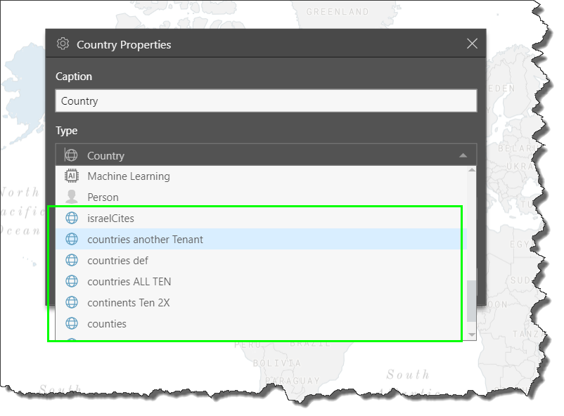
In order to build a custom shape map, the relevant geospatial hierarchy must be connected to the custom map file which was previously imported and configured in Admin and Model. The user who configured the model in Pyramid may have already connected the hierarchy to the map file. If not, it can be achieved in Discover from the Hierarchy Properties dialog; simply open the properties for the relevant hierarchy, and select the corresponding custom map file as the 'Type'. Custom map files are easily distinguishable in the Type dropdown list by their blue font.
Once the hierarchy is connected to the relevant file, custom shape maps are built in the same way as regular shape maps; simply add the required geocode hierarchy to the query, along with any other hierarchies and measures that are needed.